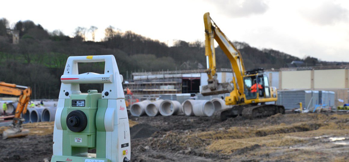
We provide a range of engineering survey solutions for construction, remediation, cost control and monitoring where accuracy is a key requirement, and our market leading experience and expertise in data collection, management and presentation is a significant asset to our clients.
We have a team of qualified and very experienced civil engineers and surveyors who can provide practical engineering survey solutions. Most typically we are asked to provide advice on monitoring structural movement, remediation and volume calculations and setting out for construction.
Services include:
Monitoring
We have extensive experience at monitoring and assessing movement / subsidence in a wide variety of landscapes and structures such as buildings, bridges and retaining structures. Being a Yorkshire based company we are very familiar with movement associated with mining. Solutions range from long term periodic to 24/7 monitoring with manual and automatic techniques to suit your issue or project.
Setting out
We are able to set out for any stage of construction and to suitable or required tolerances. Where possible, digital data is transferred in the form of 3D coordinates from design information to survey instrument and finally in the field to reliable points on the ground or in the building.
Volume calculations
Many different clients require volume information. We carry out surveys for landfill, stockpiles and for cut and fill construction operations providing volume calculations and, if required, generation of isopachyte drawings.
Precise levelling
Precise levelling is often undertaken for monitoring purposes or prior to installation of manufacturing production equipment and storage racking. Measurements can be taken to fractions of a millimetre and data can be provided in drawn or spreadsheet format. We can test concrete floor flatness against certain criteria, measuring the level variation over the floor at a set interval to high accuracy, typically to BS8204 and TR34.
Void scanning
We use a variety of laser scanners depending on the type of void and access. One of the more unusual is the down hole scanner which is just 50mm in diameter and can be fed down a borehole into voids and controlled from the surface. The same scanner can also be fed horizontally into voids behind walls for example. When used in conjunction with geophysical techniques that map voids from the surface, we can provide detailed characterisation at a level unachievable by normal methods.
Rebar mapping
High frequency ground penetrating radar can be used to inspect rebar within concrete and ensure that concrete installations have been successful. It can also monitor the quality of the concrete by identifying fissures and voids, and monitor qualities such as slab thickness. We believe it has many advantages over traditional techniques such as Covermeter and Ferroscan including greater depth penetration, 3D imaging and the capability to detect multiple layers of reinforcement (dependent upon rebar spacing).
Structural appraisal
Our team of experienced structural engineers provide detailed appraisals of existing masonry, steel or reinforced concrete buildings.
Structural appraisals can be combined with non-intrusive surveying techniques such as rebar mapping or a detailed building survey. This means you can truly understand the form and integrity of your structure and determine the likely impact of a change in use.


